 Image 1 of


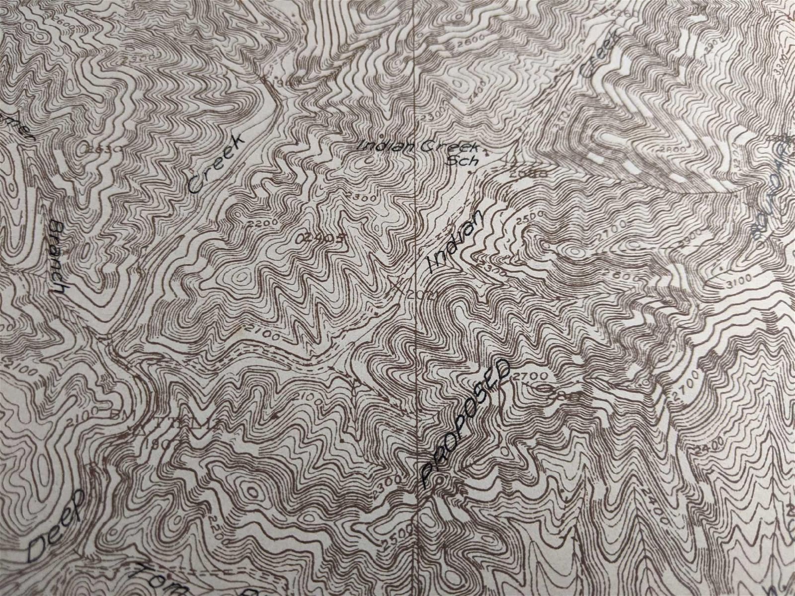
Vintage Topographic Maps of Smoky Mountain National Park 1929
Vintage Maps of proposed Smoky Mountain National Park. These three topography maps were originally made in 1929. We only have three pages of the printed proposed plan drawn out in no specific order. These maps have some discoloration but no major damage other than some tears on the corners.
DIMENSIONS: 16” H x 20” W

